 Copy
Copy WhatsApp
 Facebook
 Telegram
 X
X LinkedIn
 Email
Email Reddit
 Pinterest
 Line
Line VK
VK Blogger
 Tumblr
 OK
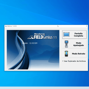
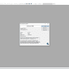
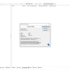
OKLeica Geo Office 8.4 is a geospatial post-processing software developed by Leica Geosystems. It is primarily used for processing, managing, and analyzing GNSS (Global Navigation Satellite System), TPS (Total Station), and leveling data collected from Leica survey instruments.
🎯 What the Program Is Used For:
Leica Geo Office (LGO) 8.4 enables land surveyors, geodesists, and engineers to:
-
Import and manage field data from Leica instruments
-
Post-process GNSS baselines and coordinate data
-
Adjust and combine measurements from multiple sources
-
Produce accurate geospatial results for mapping, construction, and geodetic control
🛠️ Key Features of Leica Geo Office 8.4:
✅ Data Integration
-
Handles data from GNSS receivers, Total Stations, and digital levels
-
Supports Leica instruments like Viva, Nova, and System 1200