
 Copy
Copy WhatsApp
 Facebook
 Telegram
 X
X LinkedIn
 Email
Email Reddit
 Pinterest
 Line
Line VK
VK Blogger
 Tumblr
 OK
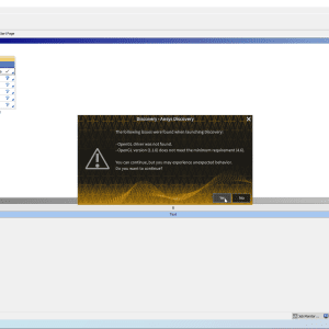
OKMicroSurvey STAR*NET 8 is an advanced survey adjustment and network analysis software developed by MicroSurvey Software, Inc. It is designed to handle complex survey data processing, including least squares adjustments, network analysis, and geodetic transformations. STAR*NET 8 is widely used by land surveyors, geodesists, civil engineers, and other geospatial professionals for processing field data and ensuring the accuracy of survey networks.
🎯 What the Program Is Used For:
MicroSurvey STAR*NET 8 is primarily used for:
-
Adjusting survey data from multiple instruments (such as GNSS receivers, total stations, and leveling instruments)
-
Performing network adjustments using least squares methods for coordinate computation and error minimization
-
Conducting geodetic transformations to convert between different coordinate systems and datums
-
Analyzing survey networks for quality control, ensuring the accuracy and precision of survey results
-
Creating detailed reports on data adjustments and processing for documentation, regulatory compliance, and project management
🛠️ Key Features of MicroSurvey STAR*NET 8:
✅ Least Squares Adjustment
-
Perform least squares adjustment on survey networks to ensure data accuracy by minimizing measurement errors
-
Refine results using network adjustment techniques that account for measurement errors and geometry
-
Apply weighting to prioritize more reliable measurements and improve overall network accuracy